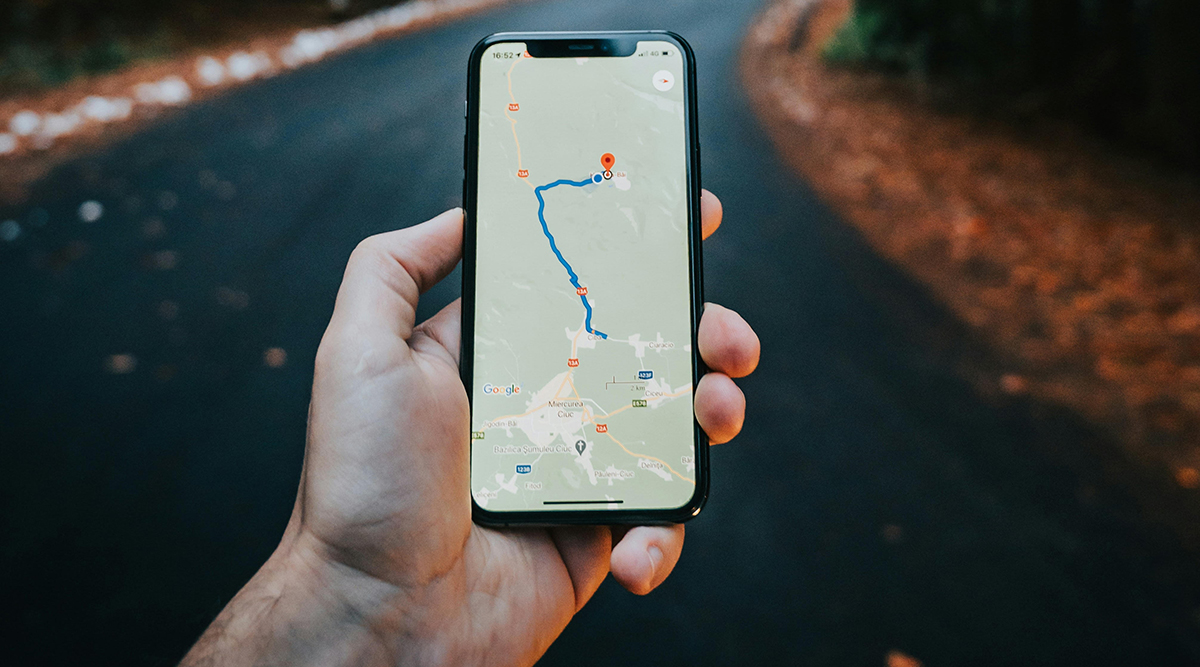
Last month Coach John Phillips and I both talked about a variety of apps for tracking and improving your walking and running: Strava, Run Keeper, Nike Run Club, City Strides, and so on. One that we both mentioned in passing was MapMyRun, but we didn’t really dig into the main use the Leggers put that site to: mapping out and communicating about routes.
You’ve seen MapMyRun if you’ve clicked on any of the route links in the newsletter: the MapMyRun site stores and shares our courses. As John Phillips mentioned there are tracking and community components to MapMyRun, but for whatever reason the vast majority of us use those other apps for logging our progress. MapMyRun sets out the course, and Strava (or one of the others) tracks our progress on that course.
I wanted to dig into MapMyRun just a bit to help you understand how the club uses it and how you might want to use it. I’m going to take a look at how to use it to find courses, how to design courses, and how to share courses. It’s really proven to be the most excellent and helpful site for mapping it all out.
First up: finding new courses. Let’s say you’re traveling somewhere next week and you need to put in some miles. Maybe this is a town you don’t know much about, but you’re interested in getting out and seeing it on foot. MapMyRun is full of maps created by other walkers and runners (and hikers and cyclists) which are searchable. Just go to MapMyRun and Click “Find Routes” under “Routes,” and give it your details. You’ll get a sortable list of maps by runners and walkers who know the area. I looked for a 5+ Mile route in San Diego and found a couple thousand of them. Narrow it down and check out the maps until you find one you like near where you’re staying.
I think this run in Balboa Park looks amazing. I might have to do it next time I’m down there!
https://www.mapmyrun.com/routes/view/252574035
Next, you might want to create a map for yourself and your friends. MapMyRun is happy to collect your input! Under “Routes” pick “Create Route” and you can start drawing right away. It’ll take a few minutes to get used to the tools, but MapMyRun’s very intuitive when it comes to making maps and saving them. Here are a few tips to get you started:
– You’ll need to create a free account to be able to create and share maps.
– On your first map, click and hold down the mouse button to move the map around to get to your course start place. Use + and – to zoom in and out.
– Click once to set your start point. Your next click should be the next spot on your map. Control-Z will undo mistakes.
– In the upper right is a checkbox that says “Auto Follow Roads” which will automatically connect your next point via the straightest route. You can uncheck this box if you need to (sometimes MapMyRun has funny ideas about “straightest route.”)
– You’ll get a running total of the mileage on the left, and you can change the name or save it there too.
– There are several other buttons that do helpful stuff (“Out and Back” automatically adds a return course to your map). Make up a dummy map or two to experiment if you like.
ALL maps are automatically private, so you need to make sure the you change the setting to Public if you want to share it with others. That’s the MOST important tip about making a route: once you save it, look under the name for the field “Route is visible to…” and change it to what you want (probably Everyone).
And that’s it! You can now create and share maps with all your Leggers buddies. Here’s a sample of some of the routes we have shared in years past during our “summer season” walks and runs.
One note about these maps: they don’t include turn-by-turn directions, and they can’t be loaded up and played like Google Maps directions (which will give you audible cues about where to turn). This is a drawback, but the benefits of MapMyRun seem to outweigh that problem for most of us.